The NEXOO platform helps cities better protect vulnerable road users. First and foremost, it reduces the risk for the most vulnerable: cyclists and pedestrians.
The number of fatal accidents involving pedestrians and cyclists is decreasing very slowly in the EU, as shown in a press release from the European Transport Safety Council. According to this press release, at least 51 300 pedestrians and 19 450 cyclists were killed on EU roads between 2010 and 2018, and worse, the decline in cyclist fatalities is eight times slower than the decline in motor vehicle fatalities.
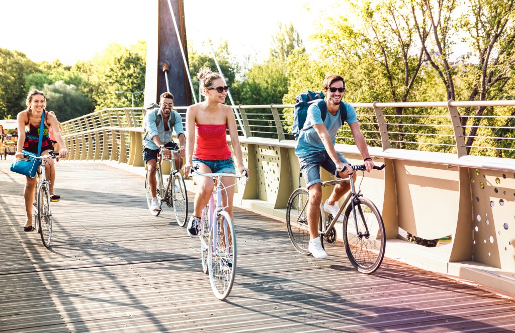
Cities are trying to promote active modes of transport, encouraging the development of cycling, but unfortunately car traffic is also increasing in cities, where the combination of traffic congestion is one of the elements of higher accident rates. More and more people are travelling by bike in Prague. Every second adult rides a bike at least once a month.
But where do cities stand on protecting cyclists? Do they know who the risk spots are in their area that are good to avoid? Are cities encouraging the creation of new safe routes for cyclists? Nexoo has solutions to all these questions.
The nexoo platform has been pilot-tested in Munich and Ostrava and relies on a combination of known and available traffic data and data (this can be data on the number and type of accidents in a given area, traffic density data from, for example, bike counters that count passage, online cameras or online traffic data from smart intersections or other traffic apps), which it evaluates using a proprietary smart algorithm and verifies in practice.
This verification is done in traffic and uses bicycles with a special sensor that monitors the cyclist’s surroundings and records location, video, audio and other data. Testers use this equipment to ride their usual routes and help find risky and dangerous spots. If a tester assesses a situation as dangerous while riding, he or she presses a button on the handlebars, the situation is recorded and the video footage is then evaluated by an algorithm. This results in more accurate verification of the input data in the field.
The basis of the system is a camera with advanced software to analyse the image and other data. A high-resolution recording device with a wide-angle camera and a calibrated high-resolution sensor allows video to be transmitted while capturing individual images containing GPS position and time data or close pass data evaluated by an embedded LiDAR sensor.